Autodesk Civil 3D
About the Course
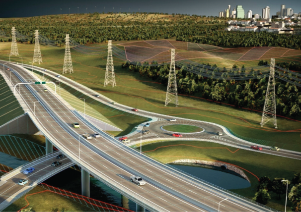
This training program is designed for civil engineers, land development professionals, and designers who want to use Autodesk Civil 3D for advanced civil design, surveying, and project management. The course focuses on advanced techniques for designing and analyzing roadways, grading, drainage systems, and land development projects within a powerful BIM framework
Course guide

Course Duration
2 month

Language
English, Malayalam

Suitable for
Civil Engineer
What you'll learn

Design civil infrastructure projects like alignment creation for roads, grading and surface modeling for site layouts and drainage systems
Create and manage data- driven models for large- scale land development and coordinate design across teams
Perform advanced dynamic modeling and analysis of terrain, volume and surface grading
Automate design and documentation process to improve efficiency and collaborate with multi-disciplinary teams with integrated tools
Modules for Learning
Module 1: Introduction to Autodesk Civil 3D and User Interface
Module 2: Setting Up Projects and Working with Survey Data
Module 3: Surface Modeling and Terrain Analysis
Module 4: Alignments and Profile Design
Module 5: Corridor Modeling and Roadway Design
Module 6: Parcel Design and Land Development
Module 7: Pipe Networks and Stormwater Management
Module 8: Grading and Earthwork Calculations
Module 9: Transportation Design and Intersection Modeling
Module 10: Quantity Takeoff and Cost Estimation
Module 11: Collaboration and Data Sharing in Civil 3D
Module 12: Project
Words From Our Community

5.0