QGIS
About the Course
This advanced training program is tailored for GIS professionals, urban planners, environmental scientists, and analysts looking to master QGIS, an open-source Geographic Information System software. The course focuses on advanced geospatial analysis, data visualization, and automation to enhance decision-making and project delivery across various industries
Course guide

Course Duration
1 month

Language
English, Malayalam

Suitable for
Civil Engineer
What you'll learn

Conduct advanced geospatial analyses and generate actionable insights through raster and vector analysis and predictive modeling
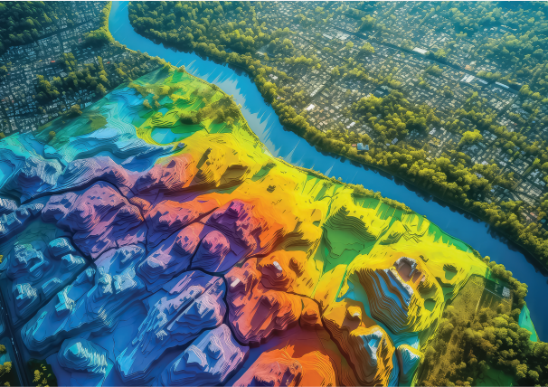
Create 3D visualizations for terrain and urban planning, and interactive web maps for project communication
Manage large datasets and integrate QGIS with other tools and systems and developing custom plugins
Develop high- quality geospatial solutions tailored for project requirements and use of cloud services for geospatial projects
Modules for Learning
Module 1: Introduction to QGIS and GIS Fundamentals
Module 2: Data Acquisition and Management
Module 3: Spatial Analysis for Civil Engineering Applications
Module 4: Working with Digital Elevation Models (DEMs) and Terrain Analysis
Module 5: Georeferencing and Digitization Techniques
Module 6: Integration of QGIS with CAD and BIM for Infrastructure Projects
Module 7: Hydrological and Environmental Applications in QGIS
Module 8: Transportation and Road Network Analysis
Module 9: Creating High-Quality Maps and Reports
Module 10: Project
Words From Our Community

5.0